Cameroon launches new prospection campaign of mining sites in six regions of the country
-
Comments - Saturday, 28 January 2017 10:00

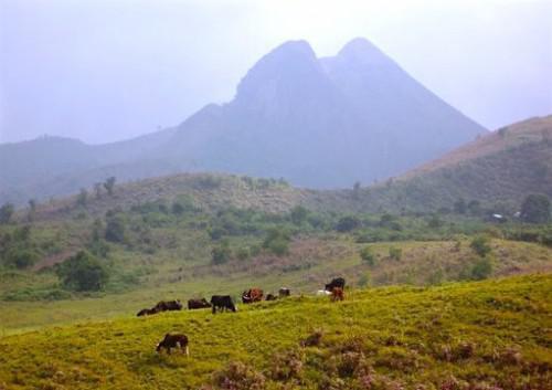
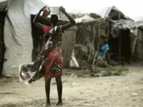
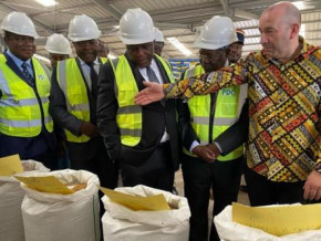
(Business in Cameroon) - The Cameroonian government officially launched last 24 January, a programme of geological and geochemical mapping in six regions of the country. It concerns Adamawa, the Centre, East, Littoral, North-West and South-West. These prospecting works of mining sites will be carried out by a group of firms comprising BRGM, Cameroonian company BEIG3 and Finnish GTK. During 30 months, about fifteen experts in the consortium will travel to the above-mentioned regions, with a view to “drawing up 13 geological maps at 1/200 000, exploring mining sites with a sampling of a total of 18000 specimens, and set up a geological and mining information system to disseminate information and promote the Cameroonian mining sector”.
This programme of geological and geochemical mapping has a budget of around FCfa 4.5 billion, financed by the World Bank. It is undertaken within the framework of the Project to Strengthen Capacity in the Mining Sector (Precasem - Projet de renforcement des capacités dans le secteur minier), supervised by the Ministry of Mines.
We recall that within the framework of this same Precasem, the Cameroonian government initiated in January 2014, operations of “airborne geophysical survey” covering an area of 160,000 Km2 spread between the six regions of the country (North, Adamawa, West, East, Littoral and Centre).
All its activities financially supported by the World Bank, we learn officially, aim to assess the real mining potential of Cameroon, of which only 40% of the country has been subjected to mining exploration up until now.
Brice R. Mbodiam

Mags frontpage

Business in Cameroon n110: April 2022
Covid-19, war in Europe: Some Cameroonian firms will suffer
Albert Zeufack: “Today, the most important market is in Asia”

Investir au Cameroun n120: Avril 2022
Covid-19, guerre en Europe : des entreprises camerounaises vont souffrir
Albert Zeufack: « Le marché le plus important aujourd’hui, c’est l’Asie »
- Most read 7 days
- shared 1 month
- read 1 month